 TrailBoss the raccoon cowboy here, ready to guide y’all through the 7 best hiking trails near Alpine, smack dab in the heart of the Arizona White Mountain region.
Put on your hiking boots, fetch your fishing pole, and grab your cowboy hat; we’re about to take a stroll through a favorite local spot that makes the White Mountains Arizona’s favorite place to hike, camp, or just kick back and enjoy.
So saddle up, and let’s hit the trail!
Discover The 7 Best Hiking Trails Near Alpine, Arizona
Nestled in the heart of the White Mountains, Alpine, Arizona, serves as a gateway to some of the most breathtaking hiking trails in the Southwest. Known for its cool climate, abundant wildlife, and stunning vistas, this area is a hiker’s paradise. Whether you’re looking for a leisurely walk through lush meadows or a challenging trek up rugged peaks, Alpine has something to offer for every level of outdoor enthusiast. In this guide, we’ll introduce you to the 7 best hiking trails near Alpine, Arizona, focusing on their unique features and what makes them must-visit destinations for nature lovers.
Introduction to the 7 Best Hiking Trails Near Alpine
Alpine, Arizona, boasts a diverse range of trails that cater to hikers of all experiences and interests. Here are the top picks for your next adventure:
1. Thompson Trail #629
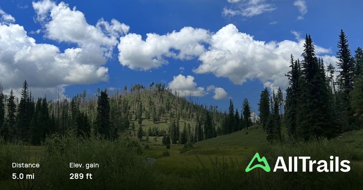
Nestled along the banks of the West Fork of the Black River, Thompson Trail #629 is a gentle path that weaves through a verdant valley. This trail is perfect for hikers of all ages and skill levels, offering a relatively flat terrain that stretches for approximately 5 miles round trip. Along the way, hikers can enjoy the soothing sounds of flowing water, the shade of towering pines, and the chance to spot local wildlife such as elk and deer. The trail’s accessibility and picturesque scenery make it a favorite among families and nature photographers.
Thompson Trail #629
- Location: Apache Sitgreaves National Forest, Arizona, United States
- Description: This hike is peaceful and serene, surrounded by lush greenery. The trail is mostly flat and follows a small creek throughout the whole way. The parking area is small, so it is recommended to arrive early, especially on weekends. It is best to experience this trail in the fall when the leaves are changing colors.
- Average Rating: 4.8/5 stars
- Difficulty Rating: Easy
- Elevation Gain: 288 ft (87.8 m)
- Length: 5 mi (8 km)
- Estimated Completion Time: 1 hr 44 min
2. Escudilla National Recreation Trail
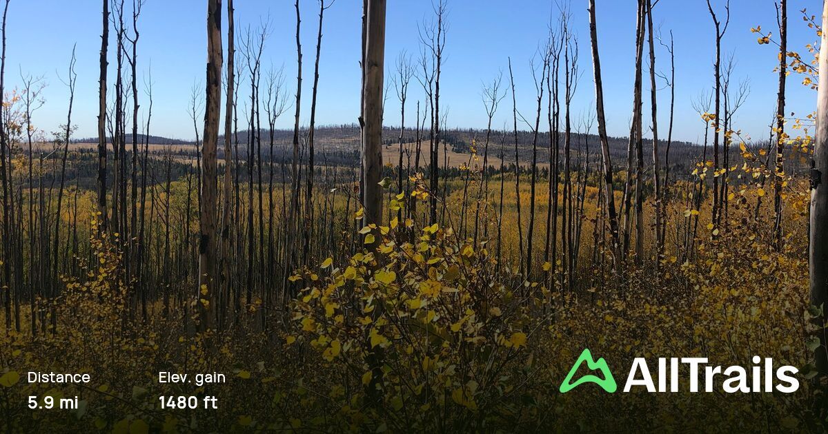
As the third highest peak in Arizona, Escudilla Mountain offers a more challenging hike that rewards adventurers with panoramic views and a diverse ecosystem. The Escudilla National Recreation Trail is a 6-mile round trip journey that begins in a lush meadow before ascending through aspen and spruce forests to the mountain’s summit. The trail is steeped in history, with tales of Apache warriors and early settlers, and offers an unrivaled view of the surrounding landscape from the top. It’s a must-do for those looking to experience the majestic beauty of the White Mountains.
Escudilla National Recreation Trail
- Location: Escudilla Wilderness Area, Arizona, United States
- Difficulty Rating: Moderate
- Elevation Gain: 1479 ft (450.8 m)
- Length: 5.9 mi (9.5 km)
- Estimated Completion Time: 3 hr 14 min
- Average Rating: 4.5/5 stars
3. West Fork Black River Trail
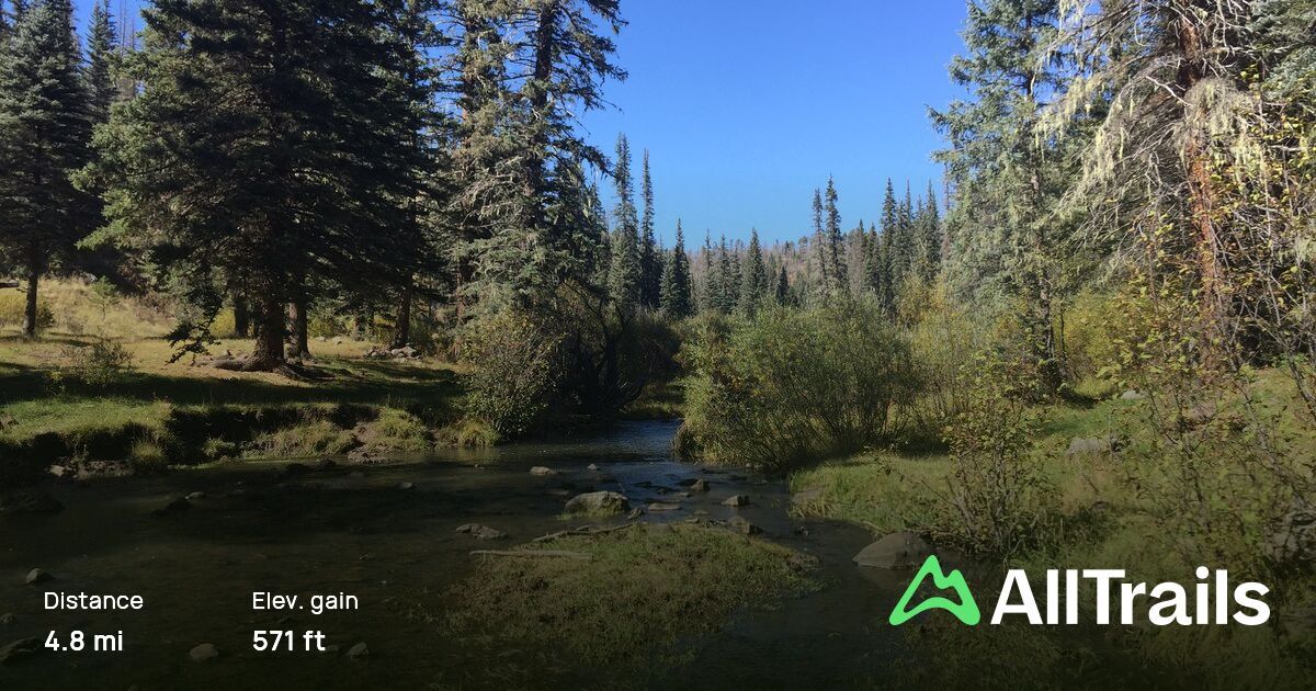
For those seeking solitude and a connection with untouched wilderness, the West Fork Black River Trail provides an ideal setting. This moderately challenging trail meanders alongside its namesake river, offering serene views and the tranquility of flowing water. Covering a distance of approximately 7 miles round trip, it’s a haven for anglers, bird watchers, and anyone looking to escape the hustle and bustle of daily life. The trail’s highlight includes several small waterfalls and the opportunity to observe a variety of bird species in their natural habitat.
West Fork Black River Trail
- Location: Apache Sitgreaves National Forest, Arizona, United States
- Difficulty Rating: Moderate
- Elevation Gain: 570 ft (173.7 m)
- Length: 4.8 mi (7.7 km)
- Estimated Completion Time: 1 hr 58 min
- Average Rating: 4.3/5 stars
4. Indian Springs Trail to Big Lake Knoll Lookout
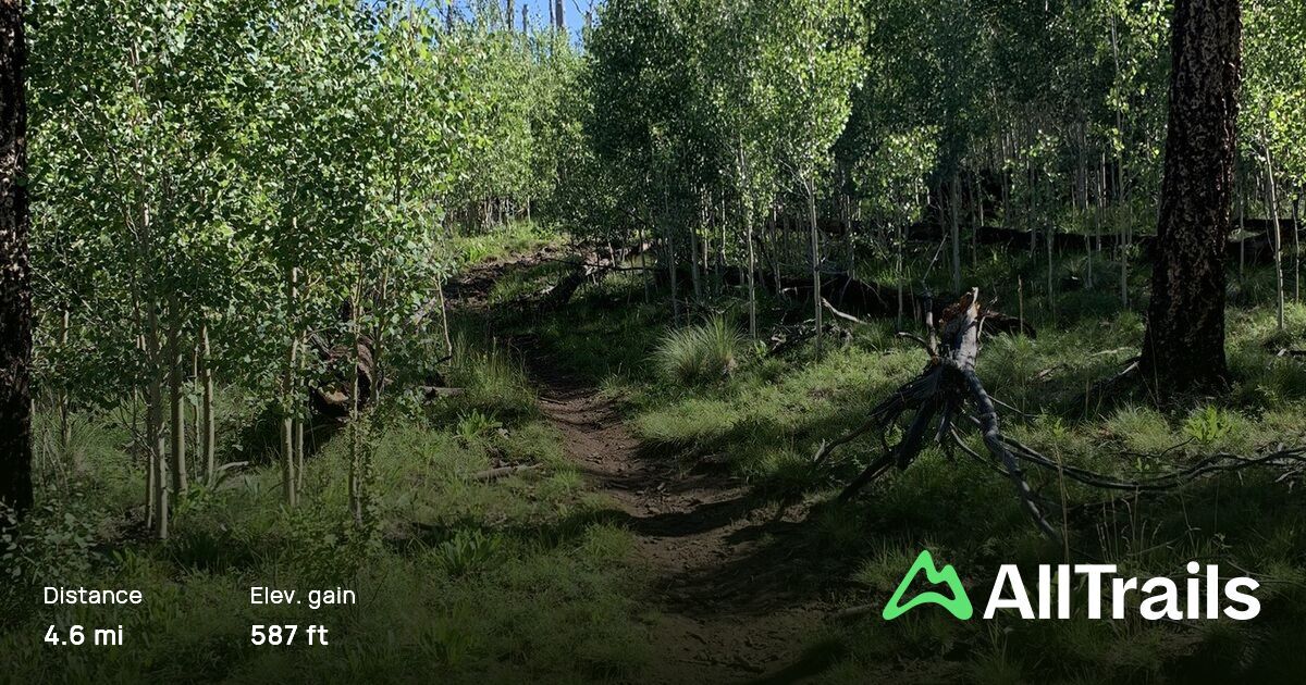
Combining scenic beauty with a touch of adventure, the Indian Springs Trail to Big Lake Knoll Lookout takes hikers on a journey through diverse terrains to a stunning vantage point. This 4-mile round trip trail climbs steadily to the lookout, providing breathtaking views of Big Lake and the vast expanse of the Apache-Sitgreaves National Forests. Along the way, hikers can explore the remnants of an old fire lookout and enjoy the vibrant wildflowers that dot the landscape in the spring and summer months. The trail’s moderate difficulty makes it a rewarding outing for those looking to immerse themselves in nature’s splendor.
Indian Springs Trail to Big Lake Knoll Lookout
- Location: Apache Sitgreaves National Forest, Arizona, United States
- Difficulty Rating: Moderate
- Elevation Gain: 587 ft (178.9 m)
- Length: 4.6 mi (7.4 km)
- Estimated Completion Time: 1 hr 56 min
- Average Rating: 4.5/5 stars
5. George’s Lake Trail
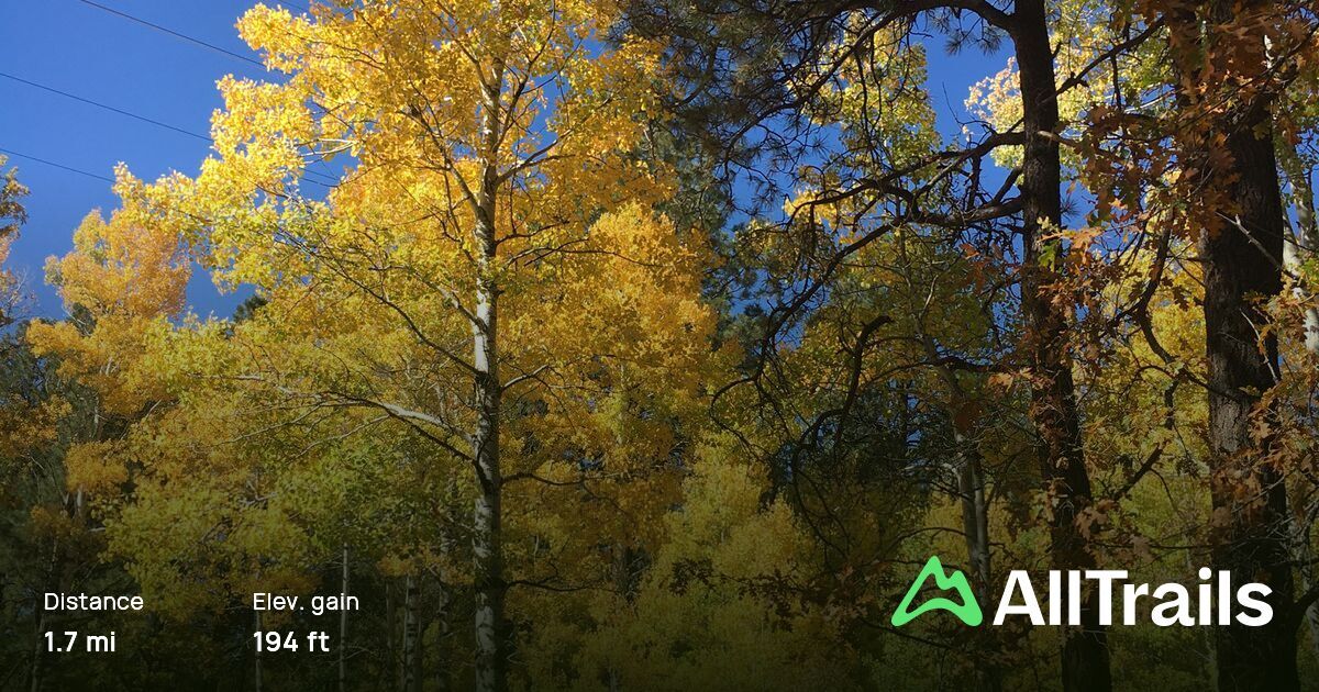
Tucked away in a serene corner of the Alpine area, George’s Lake Trail offers a peaceful retreat into nature. This easy-to-navigate, 3-mile round trip path circles the quaint George’s Lake, providing hikers with a tranquil experience away from the more frequented trails. Ideal for families, bird watchers, and those seeking a relaxing stroll, the trail is flat and well-maintained, making it accessible for all ages and abilities. As you meander around the lake, keep an eye out for the diverse birdlife that calls this area home, including ducks, geese, and various songbirds. The trail also offers several benches and picnic spots along the way, inviting hikers to pause and enjoy the reflective waters and peaceful surroundings. George’s Lake Trail is a perfect choice for a leisurely afternoon hike or a picnic with loved ones.
George’s Lake Trail
- Location: Apache Sitgreaves National Forest, Arizona, United States
- Difficulty Rating: Easy
- Elevation Gain: 193 ft (58.8 m)
- Length: 1.7 mi (2.7 km)
- Estimated Completion Time: 41 min
- Average Rating: 4.4/5 stars
6. Flat Top Trail
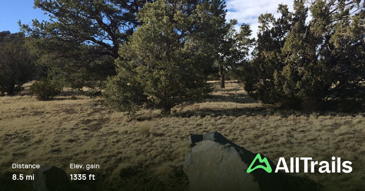
For those looking to explore the unique volcanic landscape of the region, Flat Top Trail presents an exciting opportunity. This moderate 4.5-mile round trip hike takes adventurers through a strikingly diverse landscape, featuring pine forests, meadows, and the trail’s namesake, a vast plateau formed by ancient lava flows. The ascent to the flat top offers a moderate challenge, with some steep sections that are rewarded with spectacular views of the surrounding valleys and mountains. The plateau itself is a fascinating area to explore, with its unique geology and wide-open spaces offering a sense of solitude and discovery. Hikers can enjoy lunch with a view at the summit before descending back through the vibrant forest. Flat Top Trail is an excellent choice for those interested in geology, photography, and experiencing the beauty of Arizona’s volcanic landscapes.
Flat Top Trail
- Location: Eagar, Arizona, United States
- Difficulty Rating: Moderate
- Elevation Gain: 1335 ft (406.9 m)
- Length: 8.5 mi (13.7 km)
- Estimated Completion Time: 3 hr 49 min
- Average Rating: 4.4/5 stars
7. Big Lake Knoll and Indian Spring Loop
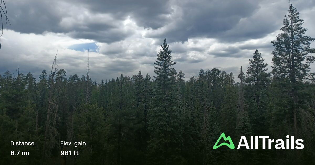
Combining stunning vistas with the chance to explore the rich ecosystems of the Apache-Sitgreaves National Forests, the Big Lake Knoll and Indian Spring Loop is a must-hike trail for the more adventurous. This 6-mile loop challenges hikers with its varied terrain but rewards them with unparalleled views of Big Lake, one of the area’s most beautiful and popular water bodies. The trail takes you through dense forests, across meadows brimming with wildflowers, and up to several knolls that offer panoramic views of the lake and the surrounding mountains. One of the highlights of this hike is the Indian Spring, a natural spring that provides a cool respite and a chance to refill water bottles. Along the way, keep an eye out for wildlife, including elk, deer, and a variety of bird species. The Big Lake Knoll and Indian Spring Loop is an excellent choice for those looking for a full-day hike that combines physical challenge with the beauty and tranquility of the Alpine area.
Big Lake Knoll and Indian Spring Loop
- Location: Apache Sitgreaves National Forest, Arizona, United States
- Description: This trailhead leads from the parking lot off Loop D in Rainbow Campground, but you can also access a different parking lot off Forest Rd 249F. Take a nicely wooded trail to the top of Big Lake Knoll, where there are scenic views of the surrounding hillsides. Head back down and reconnect with the trail heading south which travels through open meadows.
- Difficulty Rating: Moderate
- Elevation Gain: 980 ft (298.7 m)
- Length: 8.7 mi (14 km)
- Estimated Completion Time: 3 hr 30 min
- Average Rating: 4.3/5 stars
Wrapping Up
The hiking these 7 best hiking trails near Alpine Arizona, are as varied as they are beautiful, offering something for everyone. From the gentle paths of George’s Lake Trail to the challenging ascents of Flat Top Trail and the scenic beauty of the Big Lake Knoll and Indian Spring Loop, each trail provides a unique way to experience the natural wonders of the White Mountains. These trails not only showcase the breathtaking landscapes of Arizona but also offer opportunities for wildlife observation, photography, and peaceful contemplation. As you plan your next outdoor adventure, consider exploring these magnificent trails near Alpine, Arizona, and discover the beauty, history, and tranquility of this exceptional region.
Proper Preparation for Mountain Hiking
Embarking on a hike in the stunning terrains around Alpine, Arizona, promises an adventure filled with breathtaking views and encounters with nature. However, the key to a successful and enjoyable hike lies in thorough preparation, especially when venturing into mountainous areas. Here’s how to ensure you’re well-prepared for your next mountain hike:
Check Weather, Fire, and Road Conditions
Before setting out, it’s crucial to check the latest weather, fire, and road conditions. Mountain weather can change rapidly, affecting the safety and enjoyment of your hike. Additionally, fire restrictions or active wildfires can impact trail accessibility, and road conditions can affect your travel plans to trailheads. For up-to-date information on weather, fire, and road conditions in the White Mountains area, visit Go White Mountains. This resource will help you plan your trip with the latest and most accurate information, ensuring you’re aware of any advisories, restrictions, or closures.
Lighting and Storm Safety
Mountains are prone to sudden weather changes, including the rapid onset of storms and lightning. To stay safe, try to start your hike early in the day to avoid being caught in the typical afternoon thunderstorms. If you find yourself on a trail when a storm approaches, seek shelter immediately. Avoid open fields, high ground, and solitary trees. If no shelter is available, crouch down with your feet together and minimize contact with the ground to reduce your risk of a lightning strike.
Proper Water and Clothing
Hydration and appropriate clothing are vital components of a successful hike. Always bring more water than you think you’ll need; a good rule of thumb is to carry at least one liter of water per hour of hiking, adjusting for heat, elevation, and individual needs. Use insulated water containers in colder weather to prevent freezing.
Dress in layers to easily adjust to changing temperatures and conditions. Your base layer should wick moisture away from your body, while your outer layer should provide wind and rain protection. Don’t forget a hat, gloves, and sturdy hiking boots or shoes with good grip. In winter or cooler weather, pack extra warm clothing, including a warm hat and gloves.
Additional Tips
- Let someone know your plans, including your route and expected return time.
- Pack a map and compass or GPS; even well-marked trails can become confusing.
- Carry a first-aid kit for minor emergencies and know the basics of first aid.
- Bring high-energy snacks like nuts, granola bars, or dried fruit to maintain your energy levels.
- Be wildlife aware, knowing how to store food properly and what to do if you encounter wild animals.
- Practice Leave No Trace principles to minimize your impact on the environment.
By following these preparation tips and being mindful of your surroundings, you can ensure a safe and enjoyable hiking experience in the beautiful mountains near Alpine, Arizona. Remember, preparation is the key to safely enjoying the great outdoors, allowing you to fully immerse yourself in the natural beauty and tranquility of the trails.
Conclusion
Alpine, Arizona, is a hidden gem for hikers, offering a wealth of trails that showcase the natural beauty of the White Mountains. From leisurely walks to challenging climbs, these seven trails provide a glimpse into the diverse landscapes and rich history of the area. Whether you’re a seasoned hiker or just looking to explore the great outdoors, Alpine’s trails offer an unforgettable adventure for everyone. So lace up your hiking boots, pack your essentials, and set out to discover the enchanting wilderness that awaits near Alpine, Arizona.

